
This post is also available in:
 Hrvatski (Croatian)
Land surveying at the Faculty of Geodesy is performed, as follows:
- during the semester on exercises from individual course
- field measurements from a mandatory course in the fifth semester of undergraduate study
- lectures from an optional course in a surveying company or institution according to the student’s choice for a period of 80 hours.
During the semester field measurements are performed on exercises from individual undergraduate courses (e.g., Geodetic Instruments, Field Measurements, Land Surveying, Engineering Geodetic Bases, Hydrographic Survey, etc.) and individual graduate courses (e.g., Cadastral Survey, Geodetic Networks for Special Purposes, Engineering Geodesy in Construction, Marine Geodesy, etc.).
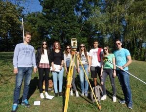
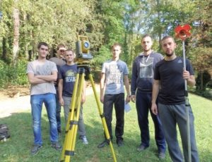
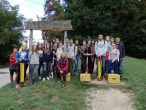
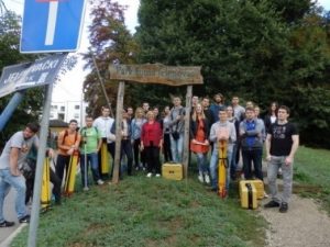
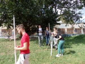
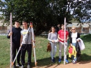
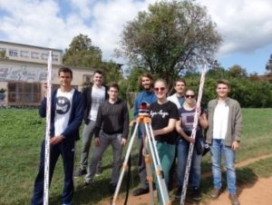
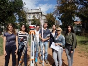
Field measurements in the mandatory course Professional Project are held in the second half of September, just before the beginning of the current academic year. This way of teaching proved to be extremely appropriate and acceptable to students, because by that time the exam deadlines had already ended and lectures in the new academic year had not yet begun. Field measurements are performed at two locations in the City of Zagreb: at the High School Playground in Klaićeva Street and in the Park Forest Jelenovac. By the end of the fifth semester, students need to submit completed projects in order to fulfill the obligations of the course and receive 3 ECTS. The subject Professional Project does not take the exam and does not receive a grade.
Lectures in the mandatory course Professional Project outside the Faculty started for the first time in the third semester of undergraduate study in the academic year 2012/2013, and from academic year 2015/2016 the subject is called Professional Project. The reasons for deploying of additional field measurements are from the assessments of students in the surveys of study programs where they regularly emphasized the need for a greater share of practical and field work in teaching. The same recommendation was given by the commission for re-accreditation of study programs in 2012. Professional internship outside the faculty consists of finding a surveying company or institution where the student needs to work 80 hours (two weeks of internship). The surveying company or institution assigns a mentor to the student (graduate engineer of geodesy / master of engineering of geodesy and geoinformatics), who guides the student during his work and stay in the company. The student keeps a diary of the internship and finally compiles an essay / technical report on the jobs and experiences gained in the internship. The Vice Dean for Teaching and Students certifies the practice diary and essay and determines that all obligations have been completed, after which the student achieves 3 ECTS. Students can complete the internship until the beginning of September of the current academic year, and the most common dates are during the summer break or winter exam period when there are no regular teaching obligations. The experiences of students are very positive, often very interesting, they gained insight into the daily work of a geodetic expert and thus learned about the pros and cons of their geodetic profession.
Share via: